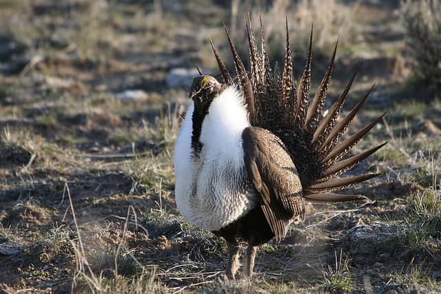
Sage-Grouse Core Area Maps for Oregon Now Available
OutdoorHub 07.14.11

BEND, Ore. – The Oregon Department of Fish and Wildlife today released final Sage-Grouse Core Area maps that provide guidance to land use planners, land managers and the public as to the areas of greatest biological importance for persistence of sage-grouse populations in the state. The maps are a product of the updated Greater Sage-Grouse Conservation Assessment and Strategy for Oregon adopted by the Oregon Fish and Wildlife Commission in April 2011.
The Core Area maps, available online, define areas that should be targeted for conservation actions or protections when large scale disturbances are proposed. Core Area maps also provide a broad-scale filter to assist planners, County, State and Federal agencies in identifying areas of likely high and low resource conflicts associated with development proposals.
The maps were originally created by ODFW biologists in cooperation with other agencies, representatives of private landowners and the Sage-Grouse Conservation Planning Team. They were revised and vetted in a series of public meetings held in each of five Sage Grouse Implementation Team areas. There is a Team for each Bureau of Land Management District within the current distribution of sage-grouse in Oregon as well as one in the Baker Resource Area in the Vale district.
As a result of the public meetings, revisions to the maps included the net removal of non-sagebrush habitat of about 5 percent of proposed Core Areas and about 13 percent of Low Density Areas from suggested conservation focus.
According to ODFW Sage-grouse Coordinator Christian Hagen, the Core Area maps still include the habitat of more than 90 percent of Oregon’s breeding populations and 84 percent of occupied leks, and the revised maps are more accurate in the representation of sage-grouse habitat as it occurs within Core and Low Density Areas.
The Oregon Greater Sage-Grouse Conservation Assessment and Strategy.

