Video: MyTopo Custom Maps Service Overview
OutdoorHub Reporters 01.18.12

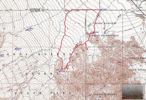
My eyes popped out of my head when I heard about MyTopo. It’s a custom map service that prints aerial, topographical and various land-terrain maps for outdoorsmen. While hunters are a big customer base with MyTopo, my immediate thought went to another successful kayaking trip I could undertake. For a week-long kayaking trip down an unfamiliar river, a map is essential. And when my friends and I set out on our trip four years ago, arranging a map of our river was the hardest part.
In this video, a MyTopo representative explains what maps they have available and all the different forms in which you can get them (digitally, printed, etc.). Watch the video to find out more:
About MyTopo
MyTopo began in 1998 with the goal of providing custom printed navigation-ready map products for professional and recreational topographic map users.
Since our humble beginnings MyTopo has expanded our custom map and professional services. In addition to producing hundreds of thousands of custom topographic, satellite, and aerial photograph map products, we support Internet-based map services and maintain data and software supporting a wide variety of consumer and professional users.

