Tracking Tarpon: New Tracking Maps Released
Keith Lusher 09.11.23
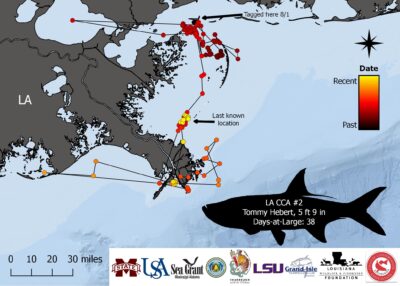
What was once considered the tarpon capital of the world, the northern Gulf of Mexico has seen a drastic decrease in the number of tarpon that inhabit these waters. However, that may be changing due to many Gulf states implementing harvest regulations to help tarpon populations rebound.
In 2019, a team of scientists from Mississippi State University, the University of South Alabama and Louisiana State University teamed up with some of the best tarpon anglers in the northern Gulf of Mexico to release 22 satellite tags on tarpon in Alabama and Louisiana waters. After being tagged the tarpon tow the tags about 2 feet behind them when swimming. These tags transmit location estimates (GPS points) to satellites when the tarpon surfaces. The tags then send the information to the scientists’ computers.
While scientists have a long way to go in capturing data to help piece together these mysterious fish, they have learned a lot over just a few years through their tagging efforts.
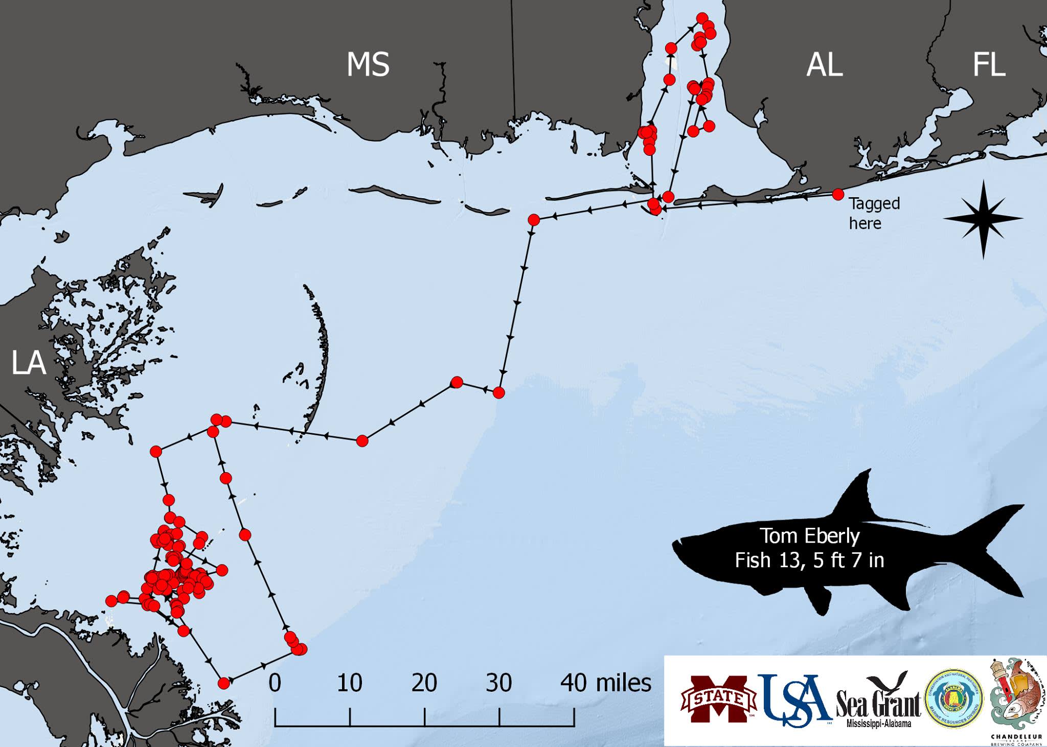
For instance, the tarpon migrate east to west starting in the spring. Large populations come from southern Florida where they seek out warmer water over the winter. They travel along the Gulf Coast and eventually reach Louisiana primarily during the summer months.
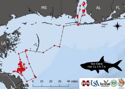
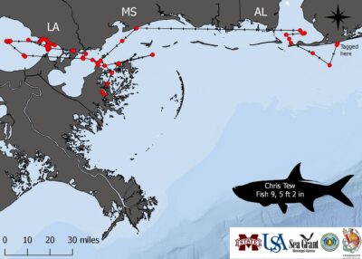
Research gathered from the tagging program shows that the fish sometimes travel more than 50 miles in a single day. Some made pit stops in Mobile Bay, but all eventually made their way to Louisiana, including one that went into Lake Pontchartrain.
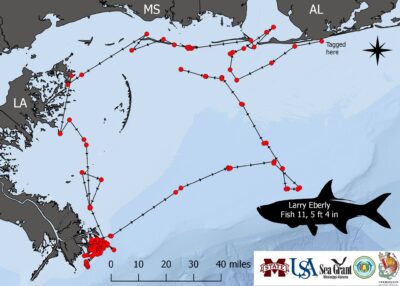
The most popular spots were the tip of the Louisiana Bird’s Foot and various parts of Chandeleur Sound. The Louisiana-tagged tarpon showed similar paths. Most were tagged northwest of the Bird’s Foot, but they eventually made their way to the Bird’s Foot as well.
Going forward, scientists plan to start releasing maps detailing the tracks of this year’s tarpon tagged by the LSU Fisheries and Movement Ecology Lab with help from the Grand Isle Tarpon Club.
